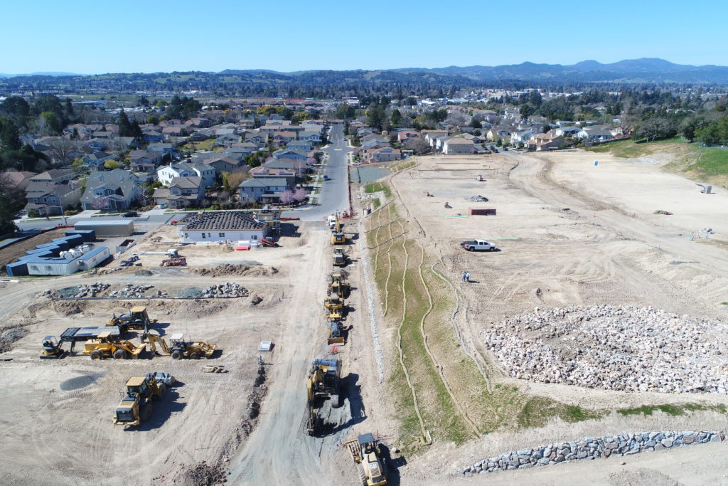
Aerial Drone Photography–an unmanned camera that can fly sky-high, is a break-through development in aerial photography in the 21st century so far. This technology makes taking aerial photos a lot easier. Drone photography is now used for commercial purposes, too, especially in the geospatial industry. The variety of sensors and cameras drones have to offer allows professionals to collect aerial data for mapping. […]
Aerial Drone Photography Maps Deliver for Developers