DRONE & 3D MODELING
DRONE & 3D MODELING
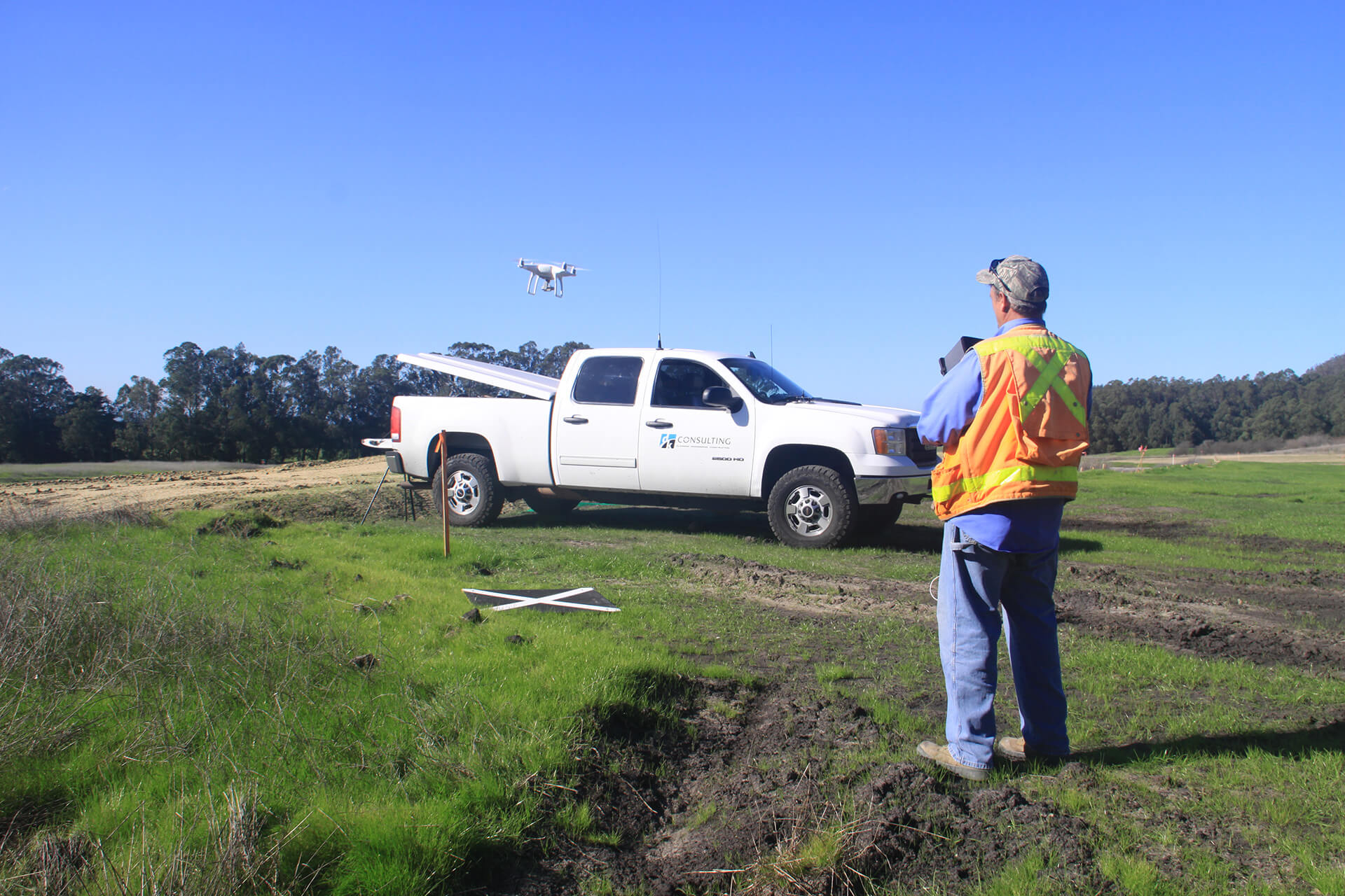
dk Engineering uses drone technology, or Unmanned Aerial Vehicles (UAV), to offer greater versatility for our Planning, Surveying, Mapping, and Engineering Services. Drones provide alternative ways to collect highly accurate data for high resolution photographs, mapping, 2D ortho, 3D models, videos and more. We provide ground and quality control to offer the most accurate results which many other drone pilots cannot guarantee. Our FAA Licensed Pilots operate our drones to improve quality, efficiency, and safety of assessments while reducing environmental impact and enhancing our customer’s experience.
dk Engineering is able to provide modeling services that includes showing proposed grading, proposed improvements, planned landscaping, architecture files from Architects, and other features of interest to deliver a model of the proposed project useful in meeting with Cities, Agencies, and other Consultants. The real-world model is an accurate way to visual your proposed project.
- - 3D Models
- - Aerial Photographs of Unique Perspectives
- - Construction Support
- - Orthophotography
- - Photogrammetric Mapping
- - Real Estate
- - Topographic Surveys
- - Videos
